BIKE ROUTES

MANTOVABIKEXPERIENCE

01

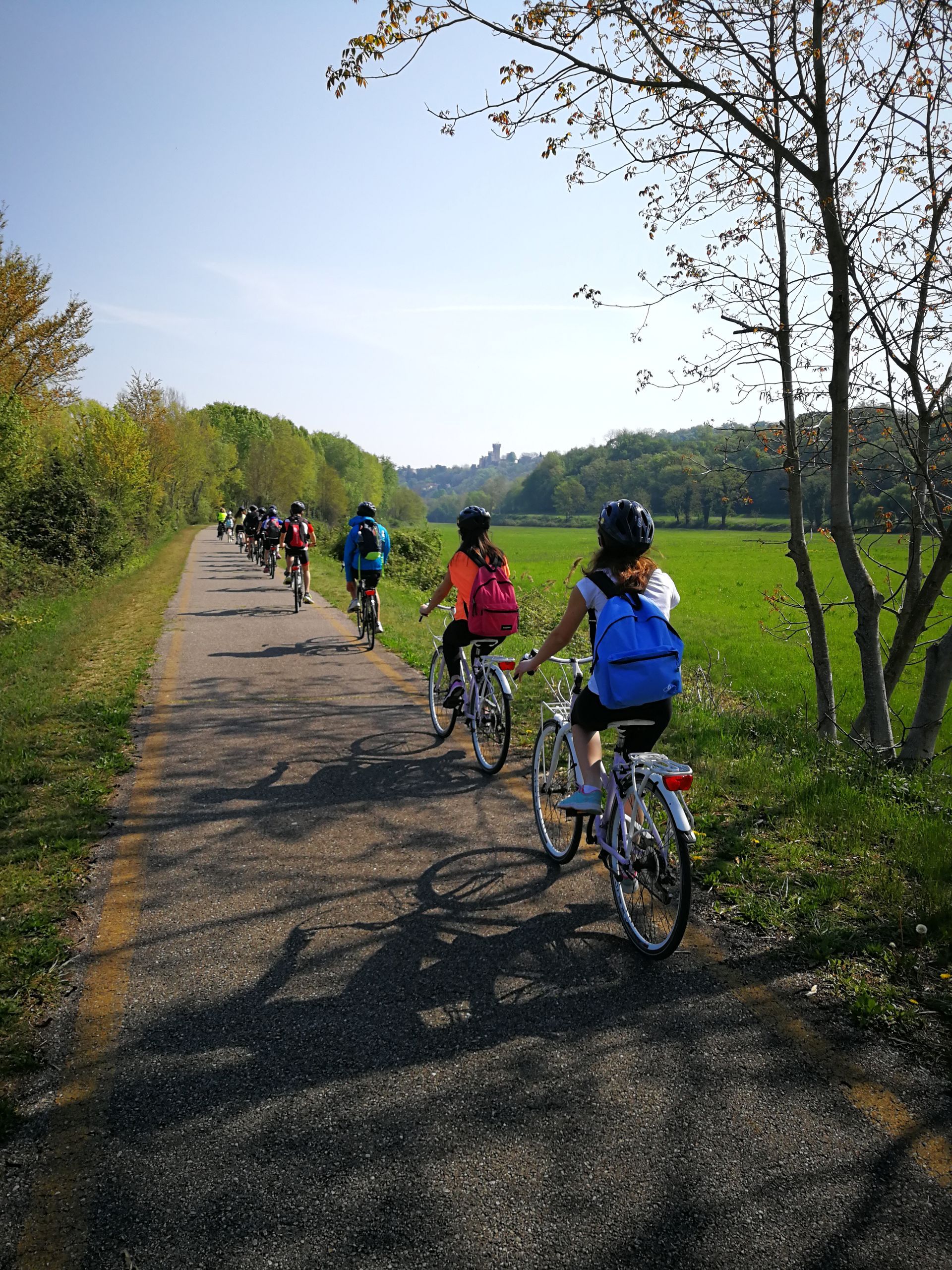
PERI-URBAN PARK CYCLE PATH

Departure Point: Giardini Barbato (Kiosk "La Zanzara")
Duration: Approximately 2.5 hours (route: 8.5 km round trip on a cycle path with dirt sections)

Highlights: City Skyline, Peri-Urban Park, Naturalised Oases, Porta Giulia and the Gonzaga Walls, Hydraulic Works of Pitentino *possibility to continue to Giardini Belfiore (5.5 km round trip) completing the section around Lago Superiore (total 14 km - approximately 3 hours).

  • Learn more

    The cycle path of the peri-urban park is a natural and historical route, designed for pedestrians and cyclists, a two-way cycle and pedestrian path that, in various sections, follows the shores of Mantua's 3 lakes.

    The park, still under expansion and completion, extends for approximately 851,000 square meters along the shores of Lake Superiore, Lake di Mezzo, and Lake Inferiore. It encompasses areas from Valletta di Belfiore to Porto Catena on the right bank, and from Cittadella to Via Brennero on the left bank, where the Vallazza Nature Reserve begins.

    Over time, the cycle and pedestrian route of the peri-urban park has been extended, and it's currently possible to travel along the entire perimeter of Lake Inferiore and Lake di Mezzo.

Download the map

02

MINCIO VALLEYS CYCLE PATH

Departure Point: Mantu, "La Zanzara"

Difficulty: Easy

Elevation: Negligible

Length: Approximately 25 km (round trip)

Duration: We recommend a full day

Surface: Asphalt and gravel

Cycle Path: Yes

Highlights: City Skyline, Peri-Urban Park, Naturalised Oases, Hydraulic Works of Pitentino, Borgo Angeli, Grazie and its Sanctuary, Rivalta sul Mincio, Mincio Valleys

  • Learn more

    The Mincio Valleys cycle path connects Mantua with Grazie and Rivalta sul Mincio, two former fishing villages nestled in the heart of the Mincio Valleys.


    This stretch of river boasts the most interesting floral, vegetational, and faunal characteristics, forming a network of canals, bodies of water, and small clearings where 60 wetland and aquatic entities of conservation interest thrive.

Download the map

03

MORENIC AND CAROLINGIAN HILLS

Departure Point: Marengo

Difficulty: moderate

Elevation: 290 metres

Length: Approximately 56 km (round trip)

Duration: We recommend a full day

Cycle Path: No

Highlights: Villages along the route: Volta Mantovana, Cavriana, Solferino, Castellaro Lagusello, Monzambano, Borghetto.

  • Learn more

    The stretch of land that extends between the southern shore of Lake Garda and the Mantuan plain, bounded by the River Mincio to the east and the River Chiese to the west, offers the visitor's eyes a picturesque habitat with natural and scenic characteristics of great value and originality.


    These are the MORENIC HILLS OF GARDA: a region that presents unique and distinctive features, encompassing various characteristic villages, each of them crowned by a castle or its remains, standing majestically atop the highest hill around which the village has grown.


Download the map

04

From Canossa to Gonzaga through prati stabili

Departure: Marengo

Difficulty: Easy

Elevation: Negligible

Length: Approximately35 km (round trip)

Duration: We recommend a full day

Surface: Asphalt

Cycle Path: Yes

Highlights: Prati Stabili, Mantua-Peschiera cycle path, Bosco Fontana, Mantua.

  • Learn more

    The journey begins in Marengo, one of the summer residences of the Canossa family. By following the Mantua-Peschiera cycle path, you can reach Mantua. Duration: The route is modifiable; the direct route is 16 km and takes about 2 hours, but you can choose to include a detour to Bosco Fontana (the mileage remains the same, but visiting Bosco Fontana on foot takes an additional hour), or you can add the Peri-Urban Park (an extra 8 km).


Download the map

05

From Canossa to Gonzaga passing through grazie and goito

Departure Point: Marengo

Difficulty: Moderate

Elevation: Negligible

Length: Approximately 55 km (round trip)

Duration: We recommend a full day

Surface: Asphalt and gravel

Cycle Path: Yes (35 km)

Highlights: Prati Stabili, Mantua-Peschiera cycle path, Bosco Fontana, Mantova, Grazie, Goito, the Mincio.

Download the map

06

MINCIO CYCLE PATH

Departure Point: Mantua, "La Zanzara"

Difficulty: Moderate

Elevation: Negligible

Length: Approximately 60 km (round trip)

Duration: We recommend a full day

Surface: Asphalt and Gravel

Cycle Path: Yes (33 km)

Highlights: City Skyline, Peri-Urban Park, Hydraulic Works of Pitentino, Vallazza Nature Reserve, Mincio River, Forte di Pietole, Forcello Archaeological Park, Travata Pumping Station, Governolo.

  • Learn more

    The route winds through the Mincio Park; it mainly follows peripheral paths (along the shores of the lakes near the city, along the course of the lower Mincio, through the Vallazza Nature Reserve), cycle paths, and briefly along ordinary roads.

    The surface is mostly asphalted with gravel sections and limited shading in the rural stretches. 

Download the map

07

MANTUA TO SABBIONETA

Departure Point: Mantua, "La Zanzara"

Difficutly: Moderate

Elevation: Negligible

Length: Approximately 95 km (round trip)

Duration: We recommend a full day

surface: Asphalt and gravel

Cycle Path: No (95 km of road)

Highlights: Mantua and Sabbioneta, UNESCO World Heritage Sites.

  • Learn more

    The Mantua-Sabbioneta cycle path is a mixed-use (for both bikes and cars) route that connects the two UNESCO cities. The route follows low-traffic roads through the wetlands of the Oglio Sud Park, allowing you to explore otherwise unexplored environments and fully appreciate the cultural and landscape characteristics of the area. There is limited shading along the entire route.

Download the map

Bike rental in Mantua

Discover the best of Mantua by bike!

BOOK NOW
Share by: